
Feb 24 - Sea to Sky Snow Conditions
Overall theme:
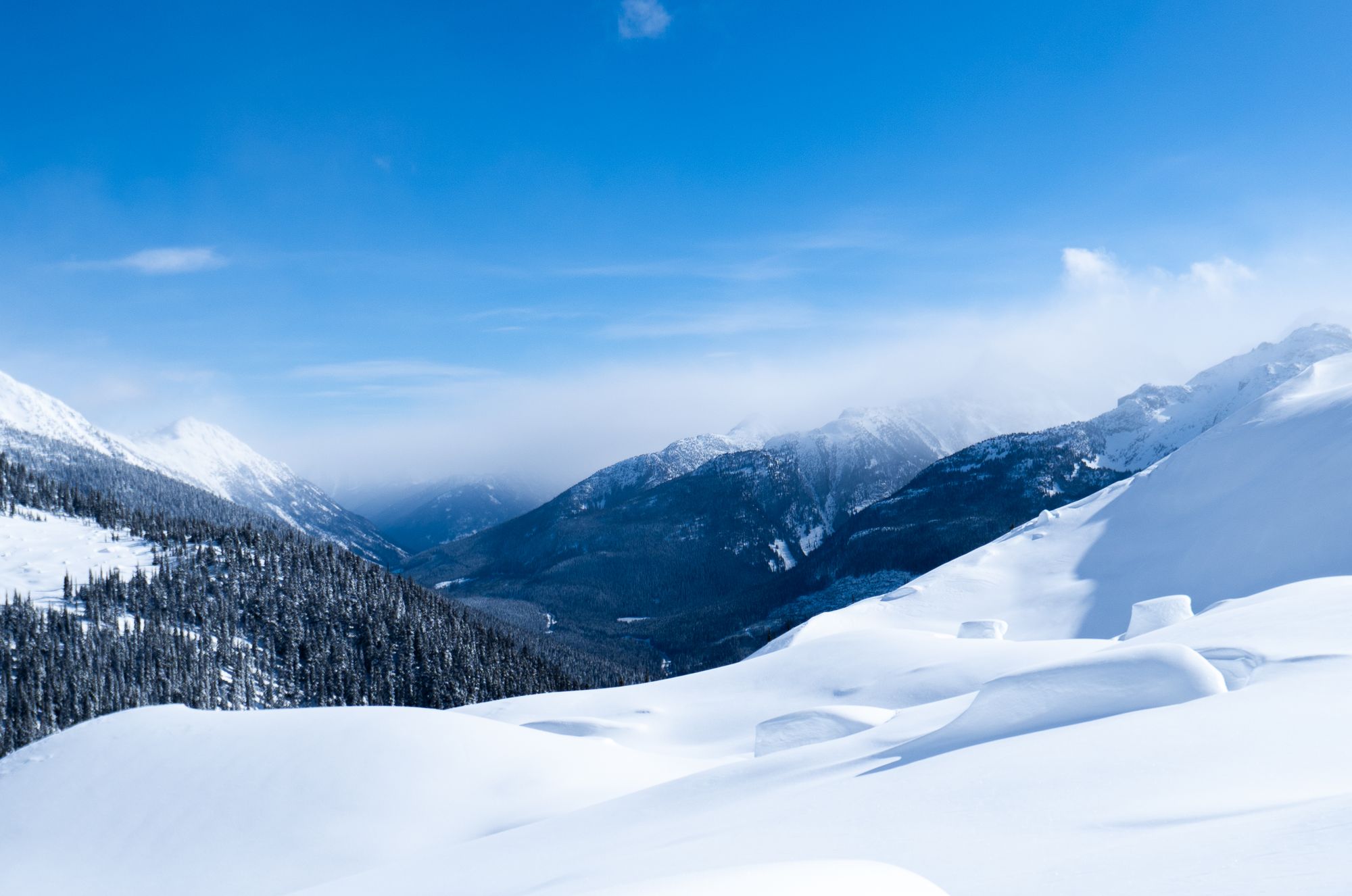
Did you notice it’s cold? At least it’s nice and simple, for now…
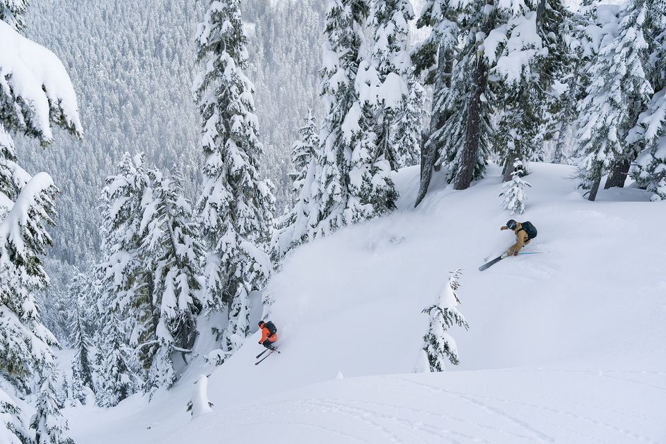
Where we’ve been skiing:
- Duffey Lake Road - East and West: These areas held fantastic skiing prior to the wind event but luckily took a little less of the brunt of things than it seems like closer to Howe Sound. Generally the closer to the S2S Highway you get, the more the wind gets funneled together.
- Callaghan: There’s decent conditions to be found here, especially around treeline.
- Blackcomb: Seems to have been hit pretty hard by winds. Several reports of wind slabs being remote triggered in the MIN.
- Brohm & S2SG: We spent time in these areas prior to the wind but expect they got hit pretty hard!
General snowpack structure:
For the most part, it seems that storm snow from the beginning of the week sat over a generally well settled snowpack throughout the corridor.
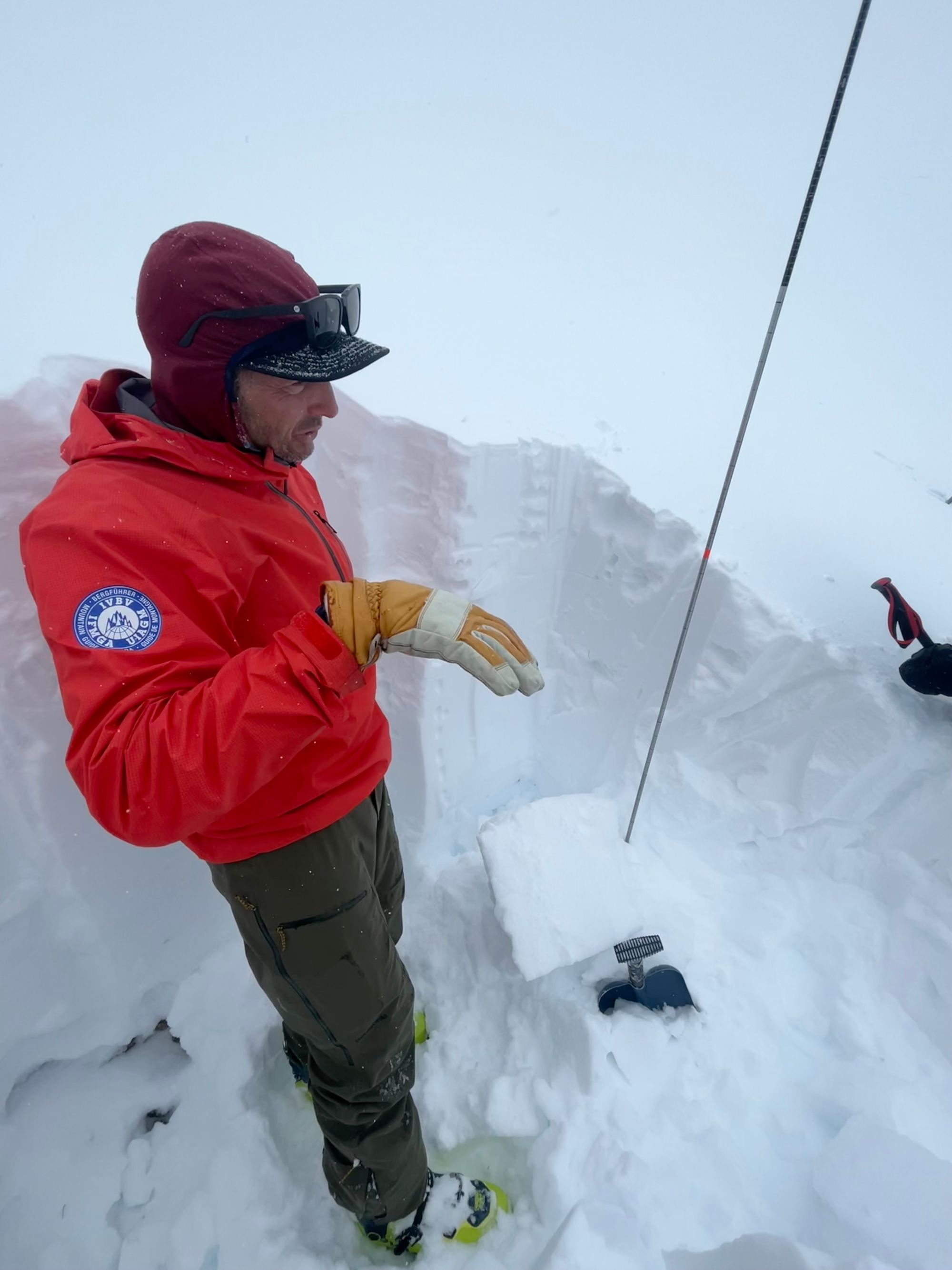
On Saturday, we dug a pit near Disease Ridge on Blackcomb and both melt freeze crusts and their associated facets that have been seeing larger Persistent Slab avalanches down ~25 and 60cm. These don’t seem to have been particularly reactive lately however. On Sunday, a pit dug on the Duffey revealed basal facets and depth hoar at a depth of ~200cm. These were under a significant load of well bonded, rounded snow and appear unlikely to react to human triggers at the moment but things can always change with a strong weather event. Will warm and stormy weather wake anything up? I think shallow rocky places and deeper melt freezes may go dormant until more spring-like big storms or high elevation rain, but I certainly will not be putting these off my radar. We will still seek out supported terrain where these layers are a concern.
The wind event started on Tuesday evening and brought strong outflow (north) winds. This created a concern for reverse loading opposite to what we’re used to. Throughout the corridor, windslab development on southerly aspects near ridge crest got going and started to show a bit of reactivity on Wednesday and more on Thursday. These are generally pretty thin and not super scary unless you’re in just the wrong place (another way of saying isolated). We’ll be pretty cautious on these features if there’s any type of exposure or terrain traps!
We found exactly this problem at 2200m on the Duffey on Thursday. Winds were ripping from the north and we were climbing up a moderate steepness south slope/bowl. Generally the bowl we were in was sheltered from the wind and quite good quality powder until we came within 30m of the ridge when it suddenly hardened. We needed to follow the ridge briefly to access a notch and in a small cross loaded pocket, a shooting crack propagated across the pocket in thick (30+cm) windslab. The terrain wasn’t steep enough to slide so the crack was the extent of what we experienced.
In sheltered areas, especially around treeline, there’s still unaffected snow to be found. Get away from the wind tunnel corridor of the S2S, seek sheltered areas, and you might get rewarded!
What’s the weather and avalanche forecast?
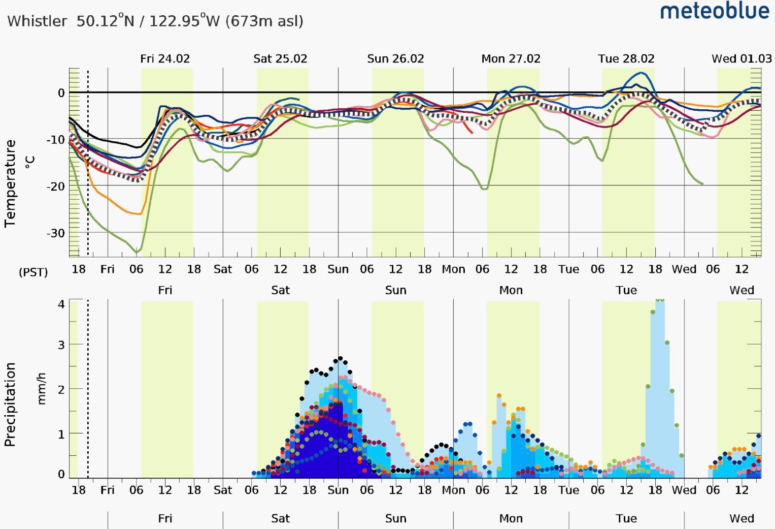
Friday stays cold but a low pressure system arrives sometime this weekend. It looks like we’ll be getting some flurries or snow to valley bottom on Saturday and quite a bit more on Saturday night! After that, we’re back to a pattern of smaller pulses of precip through the rest of the week. We’re hopeful that the current cold helps tighten up that deeper snowpack before we move into the next series of systems.
AvCan has the Sea to Sky public forecast at 2-2-1, increasing to 3-3-2 on Sunday as new snow arrives. I’ll add a bit of extra caution on Saturday depending on the timing of the arrival of new snow!
This week, air temps were too cold with too much wind for a crust to form in any solar aspects. Even if today warms up a little before the next round of storms, it will ride well with 10-15 of new, meaning all aspects will have good riding as soon as it starts to snow again!
What are my questions for the weekend?
Relatively simple for us this week: the main potential problem will be how the next storms bond to these cold and wind affected surfaces. And this will become our new baseline to be watching until it settles/bonds. Unlikely this weekend will bring a big enough storm and avalanche cycle that acts as a reset so new snow will be an incremental load on the existing windslab.
That being said, there were far fewer recreational or commercial skiers in the area this week and therefore, fewer observations to draw from for the forecast. Phantom, Whistler Heli, and ExCan all reduced trips during the cold weather and they are a big collector of data!
What will I watch out for or avoid completely?
- At the moment, primary concern is windslab that has been reverse loaded near ridgetop. Anywhere the surface goes firm or drumlike, I’ll suspect windslab. As new snow loads on top, it will be harder to recognize! I’ll certainly be mindful of anything that might have exposure or consequence!
- If the new snow comes in with more than expected, we can also assume there could be a storm slab issue early in the storm but at the moment it’s not a major concern.
- Major winds ripped the snow off our north faces. Big alpine north faces were just starting to fill in but this was probably a setback. Things like Hourglass on Tremor or Joffre Couloir come to mind as probably having lost some of their coverage.
Closing thoughts
Thanks for reading another week of our newsletter! Things have generally gotten a bit simpler but it also all depends on how the next weather system interacts with what’s happening now. By having a good idea of current conditions, we can make guesses about that interaction but it’s not an exact science!
This week was also a really good reminder how seriously we need to take extreme cold. Injuries in -20 temperatures become incredibly serious, very quickly. We turned around on a tour on Thursday when cold started to affect us while skinning up in the sun. Even with minimal avalanche concerns, committing to the shady valley we were considering would have made self-rescue nearly impossible and really increased our susceptibility to cold.
If you’re enjoying this newsletter, please take our short questionnaire here and give us some feedback! Thanks to those that already did!
If you’re finding this useful, we’d love for you to become a supporting subscriber and kick us that $5 per week to keep it going! Sign in to your profile via the website here!
-Evan & Eric
Member discussion