
Mar 30 - Sea to Sky Snow Conditions

Overall theme:
Open season continues! Small amounts of snow are keeping people on their toes but folks have found good travel and some decent steep skiing in well protected areas. The wind has been one of the biggest factors and has been driving lots of travel/ski choices for seeking out snow quality.
Where we’ve been skiing:
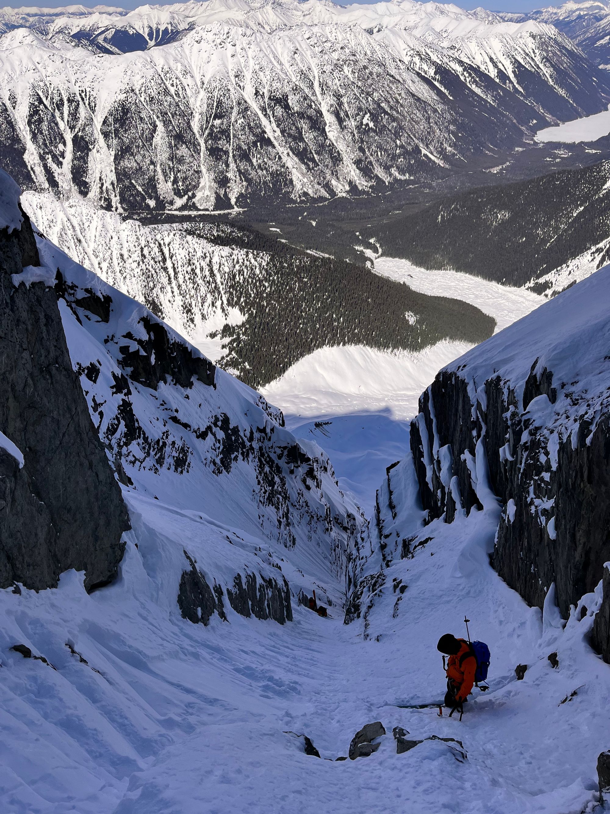
Central BC! This newsletter is a bit different as we’ve both been skiing up near Smithers. We have however been following Coastal conditions and have some feedback! We also have seen reports from skiers completing a bunch of the classic traverses including the Spearhead, the Garibaldi Neve, and the Tantalus Traverse.
What’s happened since the last update (weather & general snowpack structure):
The last week has been a pretty solid spring diurnal cycle with cold temps overnight and warming during the day. Temps at Cayoosh Pass on the Duffey Lake Road have gradually warmed up each day to a high of +8 with overnight lows of -5. Precip has been light with pulses of snow to refresh the surface on north facing terrain. A melt-freeze crust has formed on most aspects and E-NE wind have stripped alpine terrain for much of the good skiing.
What’s the weather and avalanche forecast?
Friday and Saturday appear to bring a much needed refresh in the form of 10-25cm of new snow tapering off by Sunday with freezing levels fluctuating in the 800-1200m range with moderate to strong winds. The avalanche forecast reflects this with the hazard elevated for a wind slab problem as you get closer to the Coast where more snow will fall.
What are my questions for the weekend?
- How much wind will accompany the new snow? At the moment, wind is forecast to be relatively light. There’s a possibility of stronger winds however and these might result in significant windslab development.
- How will the new snow bond to the existing MFCR/wind buffed surfaces in the alpine? This is always a big question but with the warmer spring storms, we generally see new snow bonding well.
- Going into next week - if we see a warmup and the wind hasn’t stripped the new snow, loose wet snow avalanches might come onto our radar.
What will I watch out for or avoid completely?
- Windslab in steep terrain. Should be fairly obvious if windslab is our primary problem!
- Cornices are still going to be high on my mind. Lots have fallen in the region but there are more hanging in there!
Fingers are crossed for pow skiing but good travel conditions are what I’m thinking about at the moment!
Closing Thoughts:
We are again primarily concerned with the surface of the snowpack. The mid- and lower-snowpack are generally well settled (with the exception of the very bottom layer of facets) and non-reactive but what’s happening on the top can still dramatically impact a skier!
As spring conditions cause lots of changes fast, be prepared for varied travel conditions. Be cautious when changing aspects as you may find firm, wind-scoured snow or melt-freeze on one slope and then a deep windslab with a small change in aspect. We’re also well into the slip and fall hazard season so both ski and boot crampons and ice axe are important!
Eric Carter and Evan Stevens contributed to this report. For more information, check out Zenith Mountain Guides and our local avalanche forecast. This update is supported by SkiUphill Squamish - the best stop for ski touring equipment in the Coast Mountains!
Use this information at your own risk! We are not responsible for your actions in the backcountry and things change rapidly from when this report was written!
Member discussion