
Mar 10 - Sea to Sky Snow Conditions
Overall theme:
It sure feels like we’re moving from a “stepping out” to “open season” mindset! A prolonged period of new snow really improved ski quality and now it’s starting to settle. Windslab and sun are our main concerns.
Where we’ve been skiing:
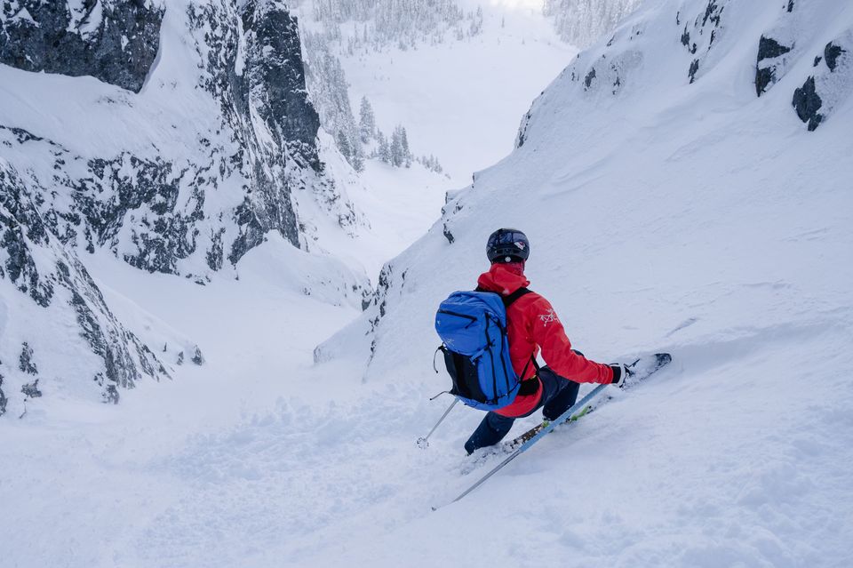
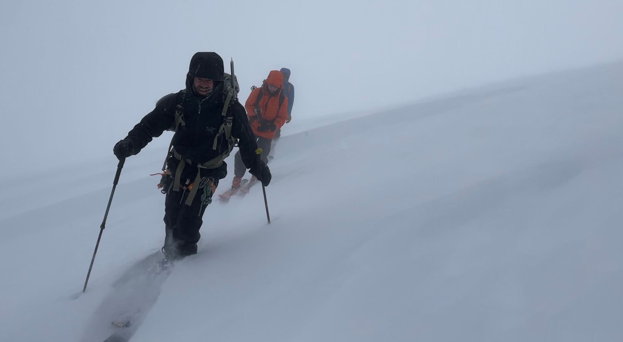
We’ve primarily been skiing in Squamish this week (as discussed in the last newsletter) but also ventured around to the Duffey, Whistler and Pemberton. It’s always hard to leave Squamish when we’ve got powder skiing as the snowpack generally settles quickly and there’s just so much snow. This week was no exception! Trail breaking was difficult but it pays off!
What’s happened since the last update (weather & general snowpack structure):
Compared to last week, we’ve had a lot less precip overall but it’s stil gradually stacking up. When we wrote our Mar 3rd newsletter, the bulk of the storm had just passed and that Saturday we saw clear skies for the first time in a while. This was a classic case of a week of storm that had everyone frothing followed by good weather tempting folks into the alpine. I think it’s safe to say that this was reflected in the number of recreational avalanche close calls that weekend.
There are several good MIN reports of avalanche incidents from Saturday especially that really illustrate how this all went down. This Rock n’ Roll avalanche near Cayoosh has a few good lessons that we can pick out of it but first it’s worth acknowledging and thanking the party for filling a MIN! Accidents happen and mistakes happen. This crew did a few things very well including a speedy companion rescue that made a huge difference in the outcome. Way to go!
Two things really jump out here as lessons:
- As we said above, this was day one after a week of storms. We’d had minimal alpine conditions observations all week. For sure it was a period of stepping out, but both Million $ and Rock n’ Roll are big alpine lines. Taking time to test the waters before going to full commitment (no escape routes) lines is wise.
- Second, the MIN report does a great job of explaining their reasoning to drop into Million $. They were feeling the conditions while approaching and dug a pit with snow tests. Rock n’ Roll however is a totally different aspect (SW) and had developed a sun crust during the storm and then new snow loaded slabs on top. Changing aspects with so little information is a risk on a day like this.
So again, huge thank you to the crew for posting their MIN and this is no criticism, just a few lessons we could take from that written report.
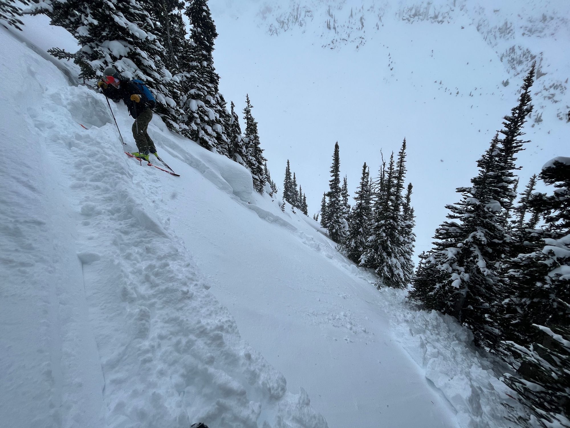
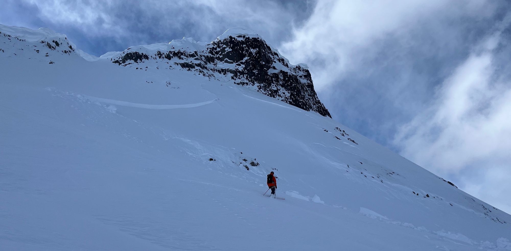
That same day, we were on the east side of the Duffey and found a similar slab (~30cm) over a faceted sun crust on SW aspects. We chose a zone mostly at TL or BTL and ventured briefly into bigger breaks between trees on that aspect, breaking a small Sz 1 slab while skinning. Luckily for us, we got this sign in small terrain rather than a big spanking. It was certainly a tricky day as the skiing was phenomenal on north aspects but very scary where the sun had hit.
As the week went on, pulses of precip kept the mountains generally pretty cloudy but also skiing incredibly well. We had good skiing on the Warren Glacier and all around in the Sky Pilot zone. As the sun peeks out more and more, below treeline is taking a beating but TL and ALP terrain is skiing very well!
What’s the weather and avalanche forecast?
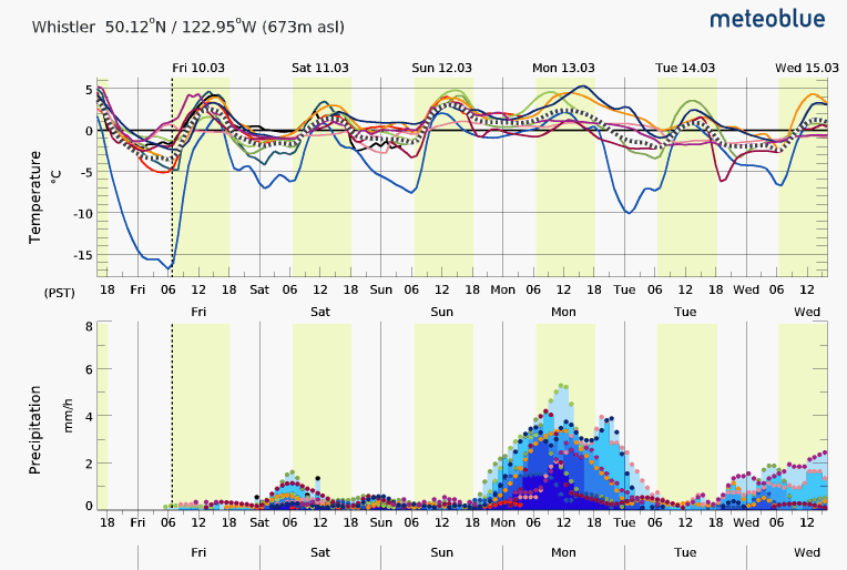
We seem to be stuck in a very zonal/convective pattern at the moment which brings flurries and clouds with not much opportunity for full bluebird in the next week. These conditions might mean one peak is bathed in sun while across the valley another is totally socked in clouds.
Snowfall is a bit trickier to predict here as well but morning flurries have been happening all through the corridor. This doesn’t look to be changing much except for a bigger pulse of snow happening Monday. My guess is this weekend will have a mix of sun and cloud with some flurries throughout the corridor but no heavy precip. This is reflected in AvCan’s ongoing forecast of 2-1-1 in all forecast areas on the Coast which then creeps up slightly in most zones moving towards Sunday and Monday with a bit of new snow.
Remember that AvCan produces a really excellent mountain weather forecast that can be found on their website. This is generally a bit more accurate than a forecast model because it does have human input!
Wind has, and continues to be, a major factor. We attempted Nch’Kay (Garibaldi) on Thursday (the reason we’re a bit behind with the newsletter) and ridge winds were strong to extreme, moving snow into heavily wind loaded areas. This wind loading and slab formation stopped us around the bergshrund on the NE Face. While the slab didn’t seem to be reactive, if it did, the 2m of loading would have been catastrophic.
What are my questions for the weekend?
What will the wind do? Can we avoid wind affected areas? This means big faces that are being loaded and potentially pockets at the top of otherwise protected lines. I’ll be watching for ways I can manage this, skiing from the top when possible.
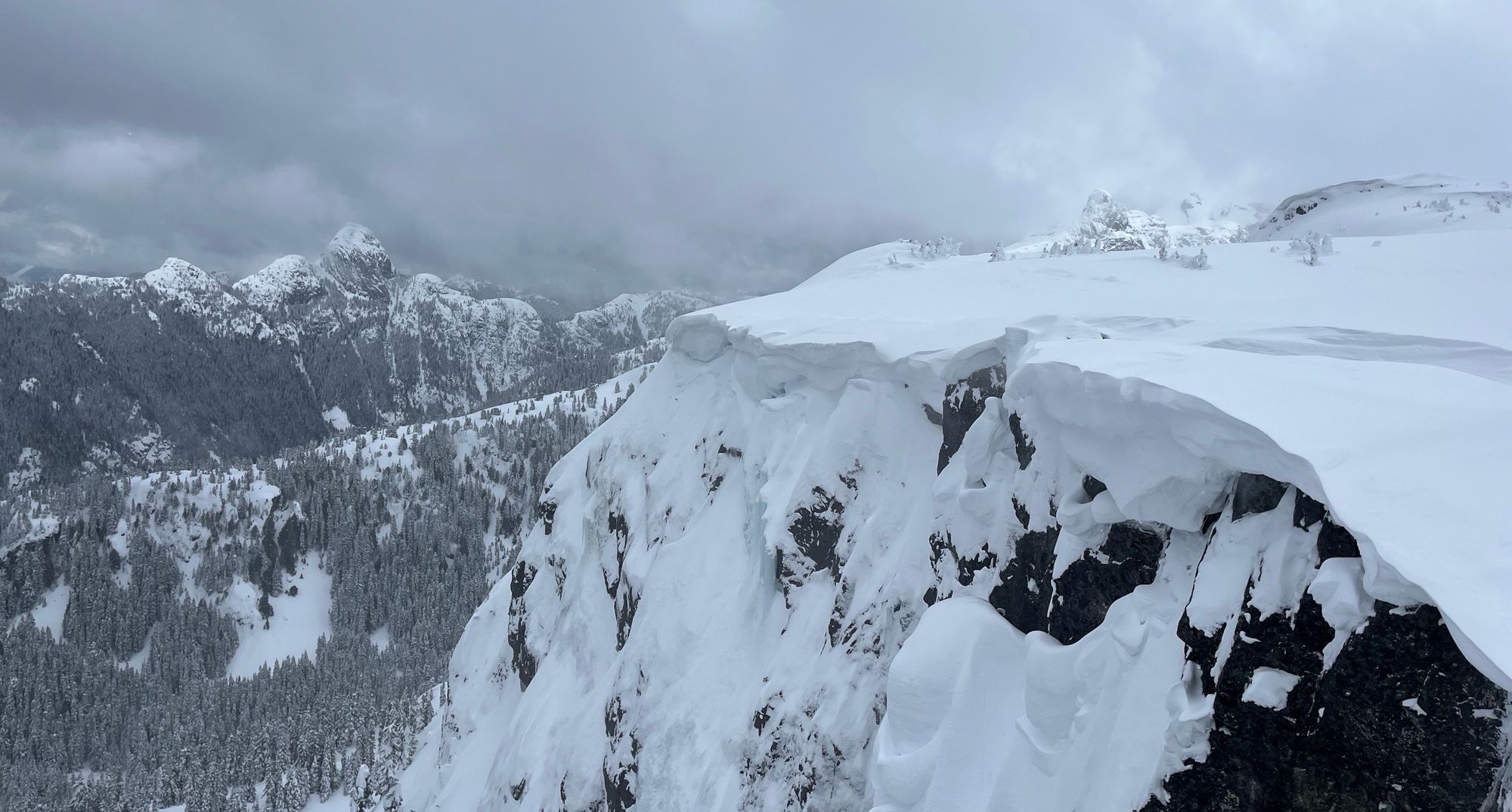
What impact will the sun have? We’re moving from winter snowpack to spring conditions and there will be growing pains. Generally overcast skies are keeping the sun from having a huge effect but when it does come out, the March sun packs a LOT more punch. This is evidenced in the sun crust that formed during a brief lull in the storm on SW aspects in the Duffey resulting in avalanches! It’s also causing cornices to fail. Cornices have been low on my radar this season but now they are bigger and the sun is knocking them down! I’ll be careful around big sun exposed lines in the alpine (I’m looking at you Aussie Couloir).
What will I watch out for or avoid completely?
We are absolutely getting into a period where the skiing could be spectacular. We’re going to try not to be caught off guard by unexpected pulses of wind or snow that aren’t forecasted. I’ll also be watching for that first big warmup of the year. Our snowpack is still pretty “wintery” and that first day when freezing levels spike to 2500m+, I want to be eating donuts and waxing skis in the valley!
Closing thoughts:
We’re all excited to ski some bigger lines and it does seem to be trending in the right direction but keep stepping out slowly and find that information for yourself. Lots of traffic out there and we all get caught up in the herd mentality when the resource is scarce! Head into the mountains with intention and collect that information as you go!
As always, please spread the word either by forwarding this email to a friend OR by jumping over to the website to sign in to upgrade your subscription to support us!
You can always send us feedback over at the survey form here.
Finally - thanks to all our new subscribers and the winner of a pair of our favorite Hestra Touring Gloves (Ergo Grip Active) is Peter Fitzpatrick! We’ll be in touch!
Member discussion